Elevating Your Vision: Drone Photography and Mapping for
Construction
Agriculture
Environmental
Emergency
Management

Empowering your projects with end-to-end drone solutions
We offer comprehensive drone services designed to capture every angle and deliver powerful visual insights.
From aerial photography and video documentation to environmental monitoring, our end-to-end solutions support a wide range of industries.
Whether it’s for construction, agriculture, conservation, or emergency management, we’re here to help you visualize and understand your projects in a whole new way.

Our Main Industries
We provide comprehensive aerial mapping and real-time tracking for construction sites.
We deliver precise crop monitoring and field analysis using advanced drone technology.
Offering detailed environmental assessments to support sustainability initiatives.
Rapid aerial assessments and data collection for efficient disaster response and recovery.

General Service Overview

From Planning to Delivery: How We Handle Your Projects
Consultation & Project Planning
Understand your goals and tailor a customized solution. From there, we handle all the planning, including site assessments and legal compliance, ensuring a smooth project from the start.
Deployment & Data Collection
Our professional photographers and licensed drone pilots carry out the operations safely and efficiently, capturing the aerial footage, photos, or data you need for your project.
Data Processing & Analysis
Using advanced AI software, we process and analyze the collected data, transforming it into clear, actionable insights such as reports, visuals, or models.
Client Review & Feedback
We provide you with the results and work closely with you to review the findings. This step ensures all deliverables meet your expectations and project needs.
Final Delivery & Ongoing Support
We deliver your data in the desired format and offer ongoing support, whether for follow-up flights or additional analysis as your project evolves.
We Cover The Whole Island

"Reaching every corner of the island with premium drone media and data services"
Why hire
?
At , we build trust through transparent communication, consistent reliability, and a commitment to safety and compliance. Our FAA-licensed pilots and proven expertise across various industries ensure high-quality results tailored to your unique needs. We prioritize delivering on time while fostering long-term relationships, offering customized solutions that align with your goals. With a focus on professionalism and integrity, we aim to be your trusted partner for all drone service needs.
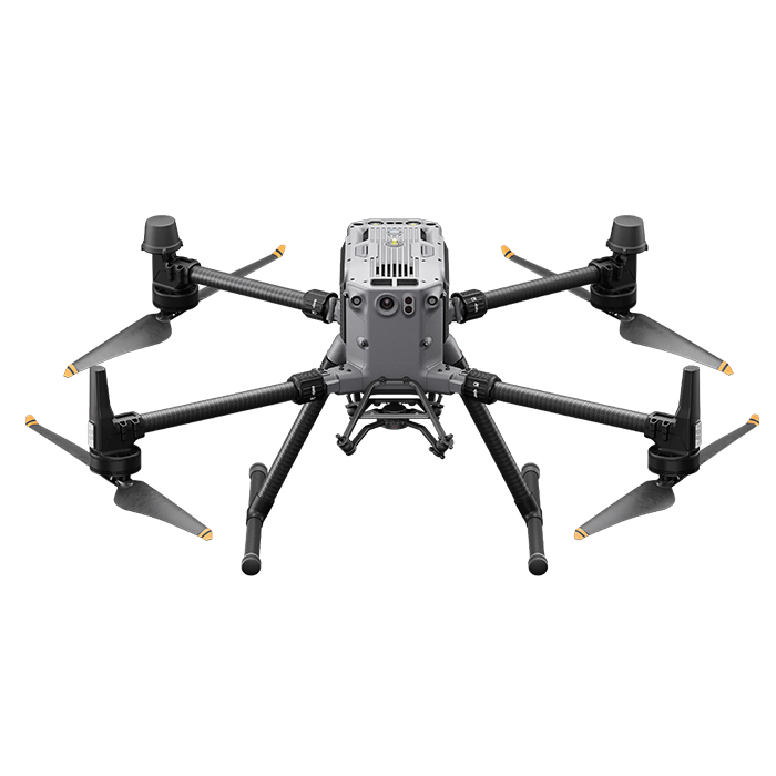
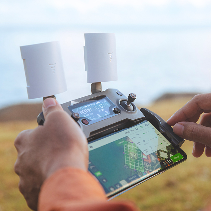
Access a whole new perspective that traditional methods can’t offer.
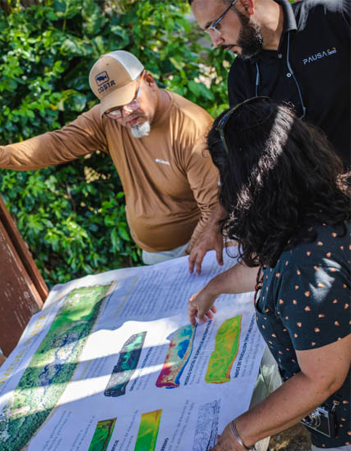
Drones allow us to capture comprehensive, high-quality visuals from above, providing an accurate overview of your project’s progress and conditions. Whether you’re managing construction, monitoring the environment, or responding to emergencies, our aerial technology delivers fast, cost-effective, and detailed insights.
From hard-to-reach areas to vast landscapes, drones make it possible to cover more ground in less time, reducing risks and enhancing decision-making. With real-time data collection and visual documentation, you can assess, adjust, and ensure that your project stays on track—every step of the way.
Our Commitment

24/7 Customer Service
Your needs are our top priority. We listen carefully, tailor our solutions, and go the extra mile to ensure your project is executed to your satisfaction. We understand how time-sensitive your data can be, so every step we take is driven by the goal of delivering exceptional service, on time and with the precision you need.

Reliability
We are committed to being dependable and delivering on time, every time. You can count on us to provide consistent, high-quality results, making your experience with PAUSA365 seamless and worry-free.

Professionalism
We maintain the highest level of dedication in everything we do. From adhering to safety protocols to delivering high-quality results, we uphold a standard of excellence that ensures your project is handled with care and expertise.

Innovation
We embrace cutting-edge drone technology and continuously seek innovative solutions to enhance your projects. By staying at the forefront of advancements, we provide services that offer new perspectives and smarter ways to achieve your goals.
Success Stories
"The photogrammetry and data analysis service provided us with incredibly detailed 3D models of our construction site. This allowed us to identify potential issues early on, saving time and resources."
Dany
"The videography service produced stunning aerial footage that brought our event to life. The smooth, cinematic shots were perfect for our promotional videos."
Angel
"The on-demand visualizations were a game-changer for our project presentations. We could instantly showcase progress and designs to stakeholders with stunning, real-time visuals."
Wilfred
"The data analysis service provided critical insights into our agricultural operations. By analyzing aerial data, we optimized crop health and yield predictions with pinpoint accuracy."
Ernesto
Why hire a licensed drone pilot?
To legally conduct any commercial drone work, operators must hold a Federal Aviation Administration (FAA) Part 107 license. This ensures your project complies with all federal regulations and operates safely.
Licensed pilots, like those at PAUSA365, are trained in airspace rules, flight safety, and emergency procedures, which helps mitigate risks and avoid potential legal issues.
Additionally, we carry liability insurance and follow strict safety protocols, giving you peace of mind and professional results. Operating without a Part 107 License is illegal, and both the pilot and client could face significant fines for non-compliance.
Yes, safety is our top priority. Our licensed pilots follow strict protocols, including pre-flight safety checks, compliance with FAA regulations, and emergency procedures. We also conduct risk assessments for every site to ensure safe flight operations and carry the necessary insurance to ensure compliance and safety on all projects.
Drones capture real-time, high-quality data and imagery from angles and heights that are difficult to reach by traditional methods. This means faster data collection, reduced labor costs, and the ability to make quicker, more informed decisions without compromising safety or accuracy.
PAUSA365 provides services across Puerto Rico, including its main islands—Mona, Vieques, and Culebra. We are equipped to handle projects in both urban and remote locations.
Yes, PAUSA365 is experienced in handling both types of projects. Whether it’s ongoing construction monitoring or long-term environmental assessments, we provide tailored solutions that fit the timeline and scope of your project.
We typically schedule flights within 5 to 7 business days, depending on weather, the complexity of the project, and any required permits. Contact us early for faster scheduling.
Turnaround time varies by project but is usually between 5 to 7 business days after the flight. For more complex data processing, we will provide an estimated timeline during consultation.