Reduce Construction Delays
Real-time site monitoring and visual documentation, enable faster, data-driven decisions that keep projects on track and within budget.
SCHEDULE A FREE MEETING
Explore our services and find the fight solution for your project
Tackling Challenges with Innovative Solutions
Incorporating innovative drone technology streamlines construction processes, offering real-time monitoring, reducing safety risks, and improving resource management. With drones, construction sites can be managed more efficiently, ensuring timely project delivery and precise documentation.


Top 5 challenges in construction projects that drones can help address
1. Site Survey Delays – Traditional surveys can take days or even weeks, delaying project starts. Drones drastically reduce survey time, delivering accurate topographic maps and 3D models in hours, allowing for faster project planning and execution.
2. Safety Hazards – Construction sites pose safety risks, especially in hard-to-reach or hazardous areas. Drones can inspect these areas remotely, reducing the need for workers to enter dangerous zones, improving safety, and preventing accidents.
3. Project Delays Due to Poor Progress Tracking – Inconsistent or manual progress tracking can cause delays and make it difficult to stay on schedule. Drones provide regular, real-time aerial documentation, helping project managers monitor progress accurately and make timely adjustments.
4. Cost Overruns from Inefficient Resource Management – Poor tracking of materials and equipment can lead to waste and cost overruns. Drones offer a bird’s-eye view of inventory and on-site resources, helping optimize their use and reducing unnecessary expenditures.
5. Communication Gaps Among Stakeholders –Construction projects often involve multiple stakeholders, from contractors to investors, who may not be on-site regularly. Drones can provide up-to-date visual documentation and data, ensuring that all parties are informed and aligned, improving communication and collaboration.
Top 5 uses for drones in construction
Drones can quickly and accurately map construction sites, creating detailed 3D models and topographic maps that streamline planning and site analysis.


Drones provide real-time aerial views of construction projects, allowing stakeholders to monitor progress, identify potential delays, and ensure projects stay on schedule.


Drones allow for the inspection of hard-to-reach areas like scaffolding, roofs, and infrastructure, improving safety by reducing the need for manual inspections in hazardous conditions.


Drones can help monitor and track construction materials on-site, optimizing resource management and ensuring supplies are available when needed. Stockpile reports 3D stockpile Colinas.


Regular drone flights provide visual documentation of a project’s progress, making it easier to create reports, share updates with stakeholders, and ensure regulatory compliance.


Construction Projects


Methodology
Planning
Make sure your projects are well
organized and safe to start
Production
We execute the service with high-quality equipment and creative visuals
Data Analysis
We collect the data to later interpret
it so you can make informed decisions
Why hire a licensed drone pilot?
To legally conduct any commercial drone work, operators must hold a Federal Aviation Administration (FAA) Part 107 license. This ensures your project complies with all federal regulations and operates safely.
Licensed pilots, like those at PAUSA365, are trained in airspace rules, flight safety, and emergency procedures, which helps mitigate risks and avoid potential legal issues.
Additionally, we carry liability insurance and follow strict safety protocols, giving you peace of mind and professional results. Operating without a Part 107 License is illegal, and both the pilot and client could face significant fines for non-compliance.
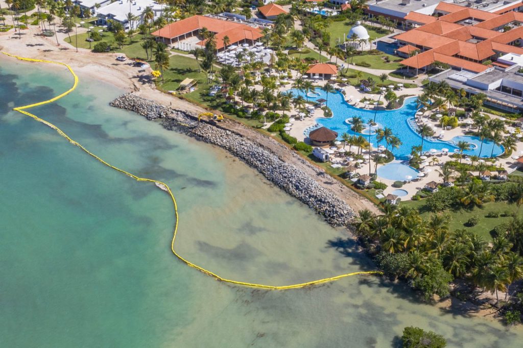
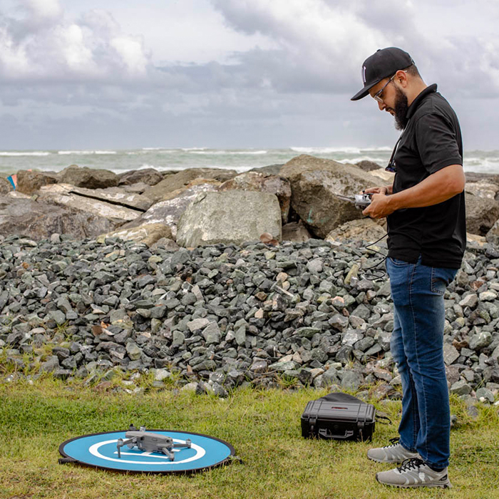
Drones provide real-time aerial site monitoring, enabling faster decision-making and reducing delays, which helps keep projects on schedule.
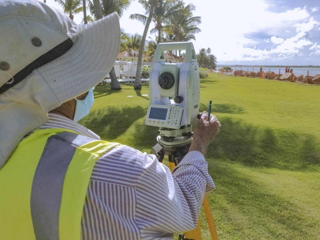
Yes, drones can inspect hard-to-reach areas, reducing the need for workers to enter dangerous zones, thereby improving site safety and preventing accidents.
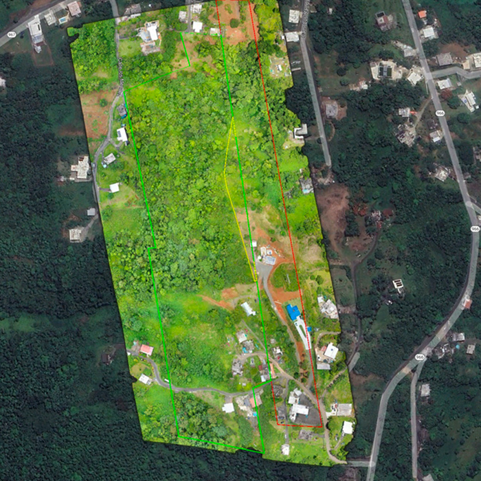
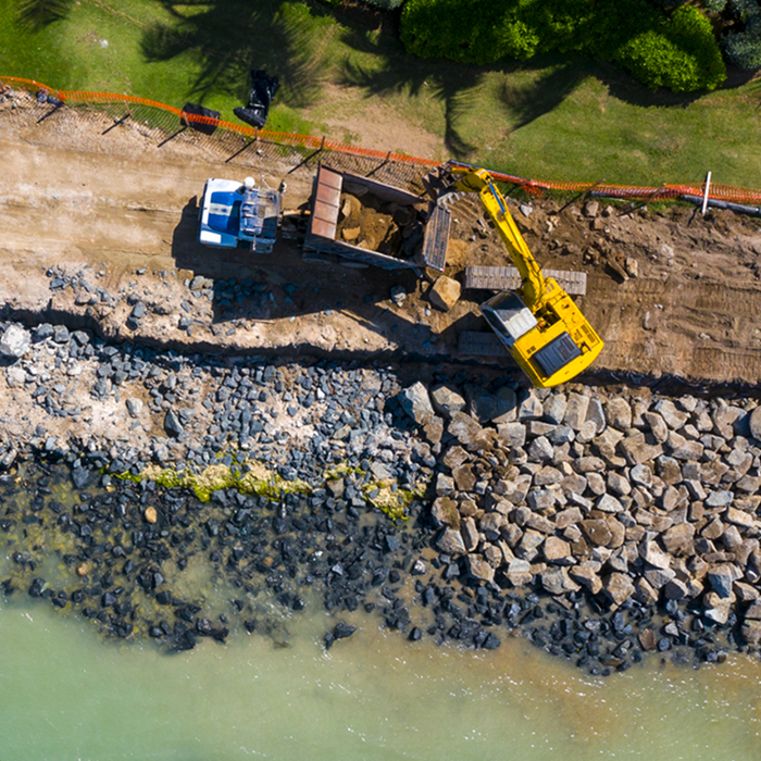
Drone-generated data, such as 3D models and site surveys, is highly accurate and can be used for tasks like progress tracking, resource management, and site analysis.
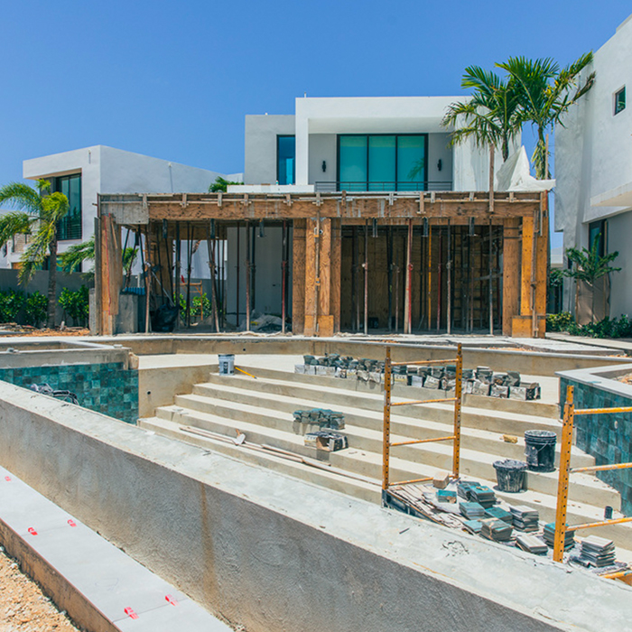
Yes, drones offer visual documentation of each phase of the project, making it easy to create detailed reports for stakeholders and ensuring transparency.
Our Main
Clients
- General Contractors
- Earthworks & Excavation Companies
- Aggregate & Material Companies
- Investors
- Architects
- Civil Engineering Companies
- Real Estate Developers
- Surveying Firms
- Construction Managers
- Hotels
- Environmental Engineering Companies