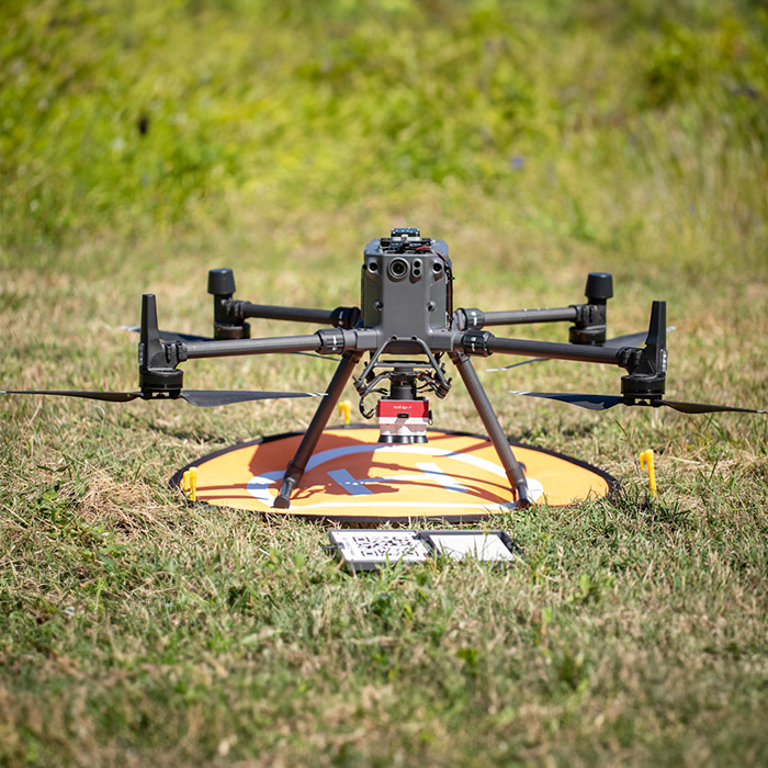
Enhance Emergency Response Time

Dramatically improve disaster response by offering fast, comprehensive aerial assessments, enabling quicker and safer decision-making.

SCHEDULE A FREE MEETING

Explore our services and find the fight solution for your project


Innovating for Faster and Safer Responses

Innovative drone solutions revolutionize emergency management by providing rapid damage assessments, enhancing search and rescue operations, and delivering real-time situational awareness. This technology allows response teams to act quickly, safely, and more effectively in disaster situations.

Photogrametry, Data Analysis, Videography, Photography, Pausa 365, PAUSA 365

Top 5 challenges in emergency management that drones can help address

  1. Delayed Damage Assessments – accessing disaster-stricken areas can take time, delaying critical assessments. Drones provide immediate aerial overviews, enabling faster and more comprehensive damage assessments.
  2. Hazardous Conditions for First Responders – first responders face significant risks when entering dangerous areas. Drones can survey and assess hazardous zones remotely, reducing the need for personnel to be exposed to dangerous conditions.
  3. Slow Search and Rescue Operations – in large or hard-to-reach areas, finding missing or trapped individuals can be slow. Drones equipped with thermal imaging can locate people quickly, speeding up search and rescue operations.
  4. Limited Real-Time Information – emergency response teams often rely on delayed or fragmented information. Drones provide live video feeds and real-time data, offering decision-makers a comprehensive view of the situation as it unfolds.
  5. Coordination Challenges Among Response Teams – Effective emergency management requires constant communication and coordination. Drones can provide visual documentation and real-time updates that all response teams can access, improving collaboration and coordination.

Top 5 uses for drones in emergency management

Drones can quickly survey disaster-affected areas, providing critical data and imagery to assess damage and prioritize emergency response efforts.

Drones equipped with thermal imaging can locate missing or trapped individuals in disaster zones, improving the efficiency and safety of search and rescue missions.

Drones provide live video feeds during emergencies, giving first responders and decision-makers critical real-time information to coordinate efforts.

After a disaster, drones can inspect damaged infrastructure like bridges, roads, and buildings, ensuring quick assessments without putting personnel at risk.

Drones can deliver essential supplies, like medical kits or water, to areas that are otherwise difficult to access, helping to bridge gaps in early response.

Mapped Acres
0
Video Quality
0 K
Flight Hours
+
Years Founded
0 +

Photogrametry, Data Analysis, Videography, Photography, Pausa 365, PAUSA 365 Methodology

Planning

Make sure your projects are well organized and safe to start

Production

We execute the service with high-quality equipment and creative visuals

Data Analysis

We collect the data to later interpret it so you can make informed decisions

Why hire a licensed drone pilot?

To legally conduct any commercial drone work, operators must hold a Federal Aviation Administration (FAA) Part 107 license. This ensures your project complies with all federal regulations and operates safely. 

Licensed pilots, like those at PAUSA365, are trained in airspace rules, flight safety, and emergency procedures, which helps mitigate risks and avoid potential legal issues. 

Additionally, we carry liability insurance and follow strict safety protocols, giving you peace of mind and professional results. Operating without a Part 107 License is illegal, and both the pilot and client could face significant fines for non-compliance.

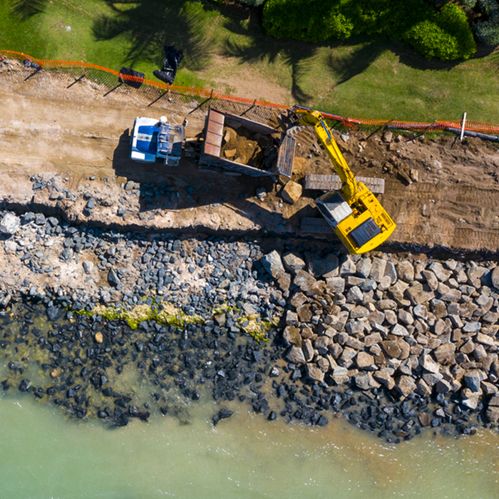
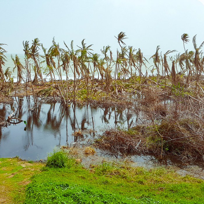
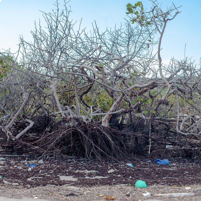
Drones provide rapid, real-time aerial assessments of disaster areas, enabling emergency teams to quickly evaluate damage and prioritize response efforts.

Yes, drones equipped with thermal imaging can locate missing persons or survivors in hard-to-reach areas, speeding up search and rescue operations while minimizing risks to responders.

Visual documentation provides live video feeds and real-time data, giving first responders a comprehensive view of the disaster area, which helps coordinate more efficient and effective responses.

Yes, drones can quickly inspect critical infrastructure such as bridges, roads, and power lines, providing immediate feedback on structural integrity without exposing personnel to danger.

Drones reduce the need for manual inspections and helicopters, lower response times, and minimize risk to personnel, making emergency management more efficient and cost-effective.

Our Main

Clients